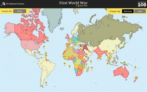
First World War: A Global View maps the international reach of the conflict, comparing countries and territories, drawing directly from sources held within The National Archives. The map highlights both key events, and lesser known experiences of war.
Dr Stephen Twigge, Records Specialist at The National Archives, said: “This new map reveals the many nations that joined forces to go to war. You can now explore lesser known stories from countries involved alongside famous events to understand the full impact and global scale of the First World War.”
Source National Archives Press Release
Posted by: Ellen Tranter, Centenary News
